Responsible Mediterranean Anchoring: Posidonia, Moorings and Local Rules
Plan Mediterranean anchoring to protect Posidonia seagrass, use suitable moorings and check current local restrictions before dropping the hook.
Research checked: October 15, 2026
Plan Mediterranean anchoring to protect Posidonia seagrass, use suitable moorings and check current local restrictions before dropping the hook. This guide focuses on practical decisions, vessel-specific checks and the questions to resolve before spending money or changing an onboard system. Use the manufacturer’s current manual and a qualified marine professional for installation and safety-critical work.
Why the seabed matters
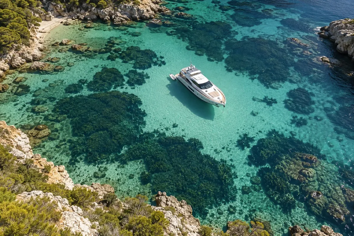
Posidonia oceanica forms important Mediterranean seagrass meadows. ICOMIA describes their role in habitat, biodiversity, carbon storage and water quality. An anchor and chain can damage plants and disturb the seabed, so choosing where to stop is part of responsible yacht operation—not just an environmental extra.
Clear water can make a meadow visible, but depth, glare, turbidity and chart scale affect what the crew can see. A chartplotter layer or anchoring app can help identify sensitive areas, yet mapping may be incomplete or out of date. Treat digital information as one input alongside current official notices, local guidance and visual observation where conditions permit.
Check the rules for the exact coast and vessel
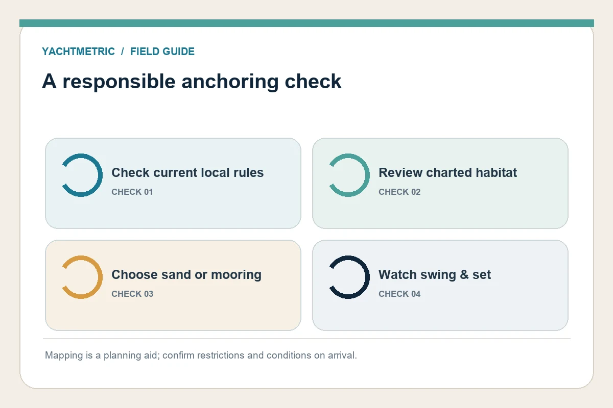
Anchoring rules vary by country, region, season, protected area and vessel size. ICOMIA’s factsheet notes that Mediterranean jurisdictions have introduced different restrictions and that some French Mediterranean rules use length thresholds that are not applied identically. This means a summary written for one bay or yacht class should not be assumed to apply elsewhere.
Before departure, check current official notices for the destination and carry the vessel’s registration and length documentation if local rules distinguish measurement definitions. Confirm whether restrictions apply to anchoring, stopping, overnight stays or particular seabed types. Ask the harbor authority or a licensed local operator if the wording is unclear; do not rely on an old screenshot or an informal forum post.
Select a suitable sandy patch or approved mooring
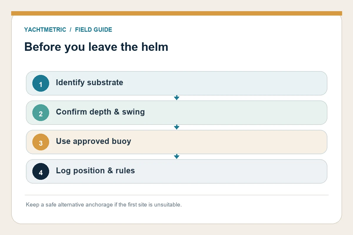
Where anchoring is allowed, seek a clear patch of sand with enough room for the yacht’s swing and the expected wind shift. Avoid seagrass, coral, rocky habitat, cables, marked channels and nearby boats. Check charted depth, tide, forecast, holding characteristics and the direction the yacht may swing before lowering the anchor.
In protected or busy locations, an approved mooring buoy may be the right option. Confirm the buoy’s suitability for the vessel’s size and current conditions, follow the local booking or payment process, and inspect the pickup arrangement from a safe position. Do not tie to a buoy that is unmarked, damaged or clearly intended for a different class of vessel.
Use crew and technology together
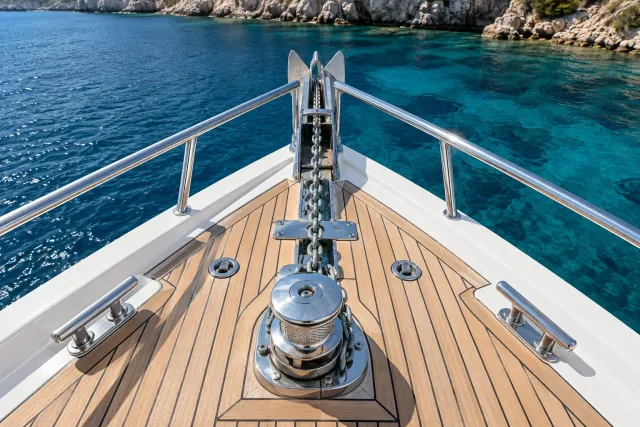
Assign one person to monitor the chart and position while another handles the bow. Brief the crew on the planned drop point, depth, scope, abort signal and alternative location. Move slowly enough to assess the seabed and maintain control. If visibility or traffic makes the selected spot uncertain, wait, ask for local advice or choose a different anchorage.
ICOMIA and the Mediterranean Posidonia Network announced a 2026 effort to improve high-resolution mapping for plotters and boating apps. That work may improve awareness over time, but a new layer does not replace local restrictions or prudent observation. Keep chart data current and report obvious discrepancies through the appropriate official or mapping channel.
If the anchor lands in the wrong place
If you discover that the anchor is over sensitive habitat or a prohibited zone, follow local guidance and move it carefully if conditions allow. Avoid dragging the anchor through a meadow. If it is fouled or the vessel cannot move safely, prioritize crew and vessel safety, contact local authorities or a professional operator, and explain the situation.
After anchoring, monitor position and swing, especially as wind or current changes. Record the location and any local rule that affected the choice for future planning. Responsible practice combines current information, suitable equipment, careful handling and a willingness to relocate when the seabed or conditions are not right.
Practical next step
Before acting, identify the exact yacht, installed equipment and operating area. Gather its manuals, service records and a few clear installation photos, then ask a qualified supplier or technician to confirm the details that apply to that vessel. Keep the answer and any test results with the yacht’s maintenance records.